Boaters have two new tools that make managing boat sewage much more convenient and trackable. The Pumpout Nav, a free iOS and Android app, is designed for use while on-the-go and aboard the vessel. It helps boaters geo-locate sewage pumpout stations closest to their present location. The second tool, the Pumpout Report 2016, is a… Continue reading New Free App Helps Boaters Easily Find and Use Pumpout Stations to Manage Sewage and Avoid Polluting Ocean
Topic: Boats & Vessels
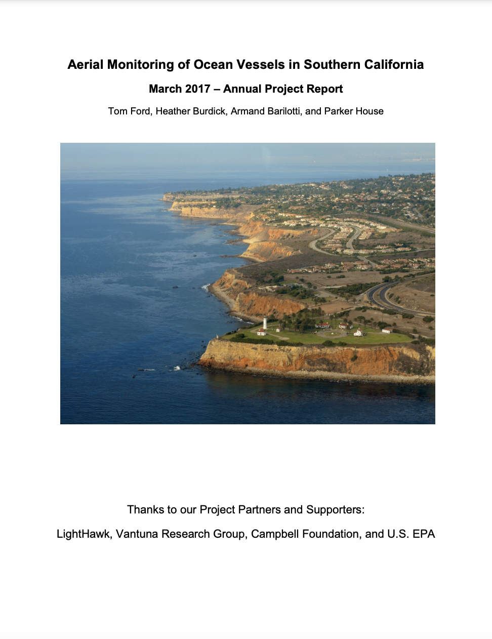
Aerial Monitoring of Ocean Vessels in Southern California March 2017 – Annual Project Report
Objective long-term data on the type, extent and location of boating and boat-based fishing directly supports the success of marine spatial planning and resource management of coastal oceans. This project was initiated to generate an objective fishery-independent dataset to define the extent of boating activities in the state waters off the coast of mainland southern… Continue reading Aerial Monitoring of Ocean Vessels in Southern California March 2017 – Annual Project Report
Climate Change Vulnerability Assessment of the SMBNEP Bay Restoration Plan – September 2016
In 2016, The Bay Foundation (TBF), with support from the Santa Monica Bay Restoration Commission (SMBRC), was awarded an EPA grant to conduct a broad, risk-based, Climate Change Vulnerability Assessment (CCVA) of the objectives in the Santa Monica Bay National Estuary Program (SMBNEP’s) Bay Restoration Plan (BRP). The CCVA identifies risks associated with individual objectives… Continue reading Climate Change Vulnerability Assessment of the SMBNEP Bay Restoration Plan – September 2016
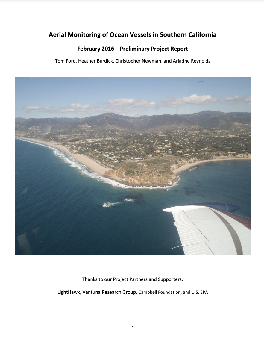
Aerial Monitoring of Ocean Vessels in Southern California: February 2016 – Preliminary Project Report
Objective long-term data on the type, extent and location of boating and boat-based fishing directly supports the success of marine spatial planning and resource management of coastal oceans. This project was initiated to generate an objective fishery-independent dataset to define the extent of boating activities in the state waters off the coast of mainland southern… Continue reading Aerial Monitoring of Ocean Vessels in Southern California: February 2016 – Preliminary Project Report
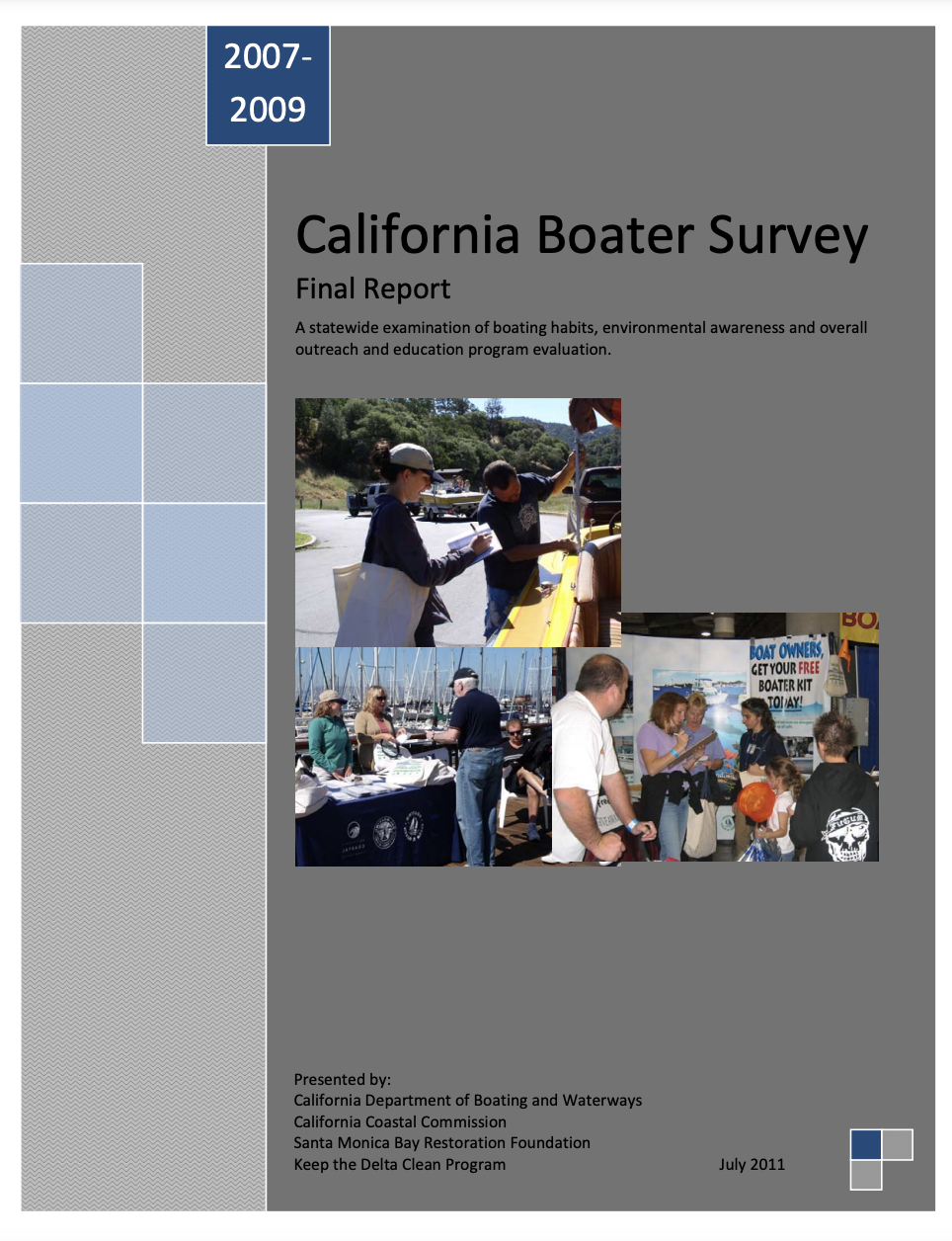
2007-2009 California Boater Survey Final Report
A statewide examination of boating habits, environmental awareness and overall outreach and education program evaluation.
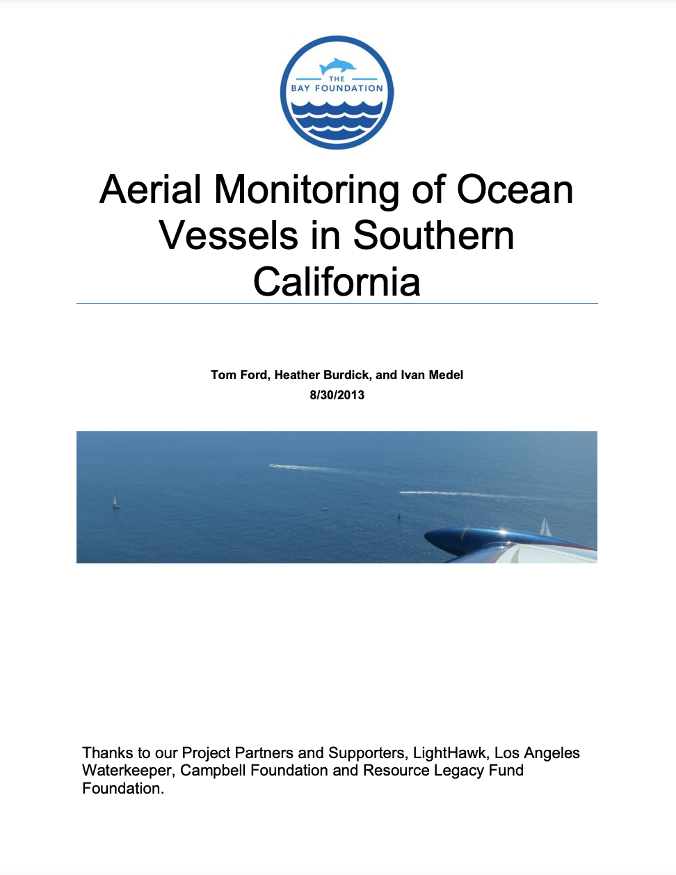
Aerial Monitoring of Ocean Vessels in Southern California – August 2013
Objective long-term data on the type, extent and location of boating and boat-based fishing directly supports the success of marine spatial planning and resource management of coastal oceans. This project was initiated to generate an objective fishery-independent dataset to define the extent of boating activities in the state waters off the coast of mainland southern… Continue reading Aerial Monitoring of Ocean Vessels in Southern California – August 2013
Marina Protected Areas & Aerial Monitoring
Since 2008, The Bay Foundation (TBF) and its partner LightHawk have been conducting coastal aerial surveys of boating activities in state waters off the mainland coast of Southern California. Monitoring is focused on the Southern California Bight, divided into two transects—the north transect, which stretches from Los Angeles International Airport (LAX) to Point Conception, and… Continue reading Marina Protected Areas & Aerial Monitoring
Clean Boating
With four million boaters, California has one of the highest levels of recreational boating in the United States. This large volume of recreational activity in our waterways can come at a cost. Boat-based pollutants such as sewage, used oil, household hazardous waste, marine debris, aquatic invasive species, and emerging contaminants impair our waterways. To protect… Continue reading Clean Boating
